
Introduction
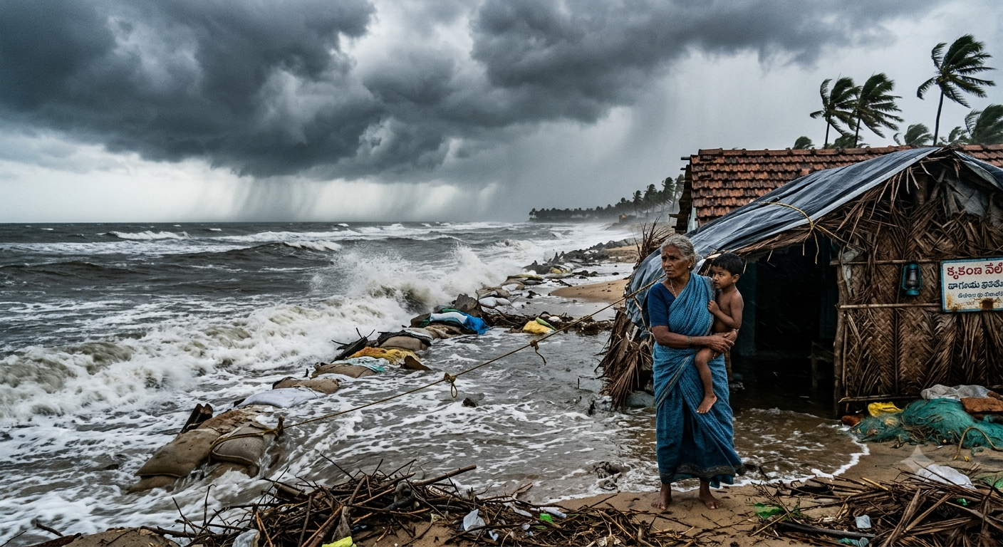
Cyclone Murasu has grown into a severe cyclonic storm over the Bay of Bengal, and it is now moving toward the Andhra Pradesh coast. The India Meteorological Department (IMD) expects landfall late tonight. States along the east coast have gone on alert, and rain has already hit parts of Tamil Nadu. This post explains the latest forecast, the areas at risk and the steps you should take to stay safe.
What Is Cyclone Murasu?
Murasu began as a weather system over the Bay of Bengal. It then became a cyclonic storm and strengthened further into a severe cyclonic storm on November 2. In the IMD’s scale, a severe cyclonic storm has sustained winds of roughly 89 to 117 km/h. That is strong enough to damage weak houses, uproot trees and cut power lines.
Latest Position and Movement
According to IMD updates on Monday, the storm sits over the west-central and adjoining southwest Bay of Bengal. It has been moving northwest at around 20 to 25 km/h. Live updates placed the system about 210 to 260 km southeast of Ongole during the morning. The IMD says it will keep moving northwest and reach the coast as a severe cyclonic storm.
Landfall Time and Location
The IMD expects the cyclone to cross the south Andhra Pradesh coast between Nellore and Narsapur, close to Ongole. The landfall window runs from about 11:30 pm on November 2 to 4 am on November 3. Winds at landfall should reach 100 to 110 km/h, with gusts up to 120 km/h.
Forecasts can shift, so the exact time and place may change by a few hours or kilometers. Please follow official IMD bulletins for the latest information.
States and Regions on Alert
The storm is likely to affect several regions:
- Andhra Pradesh: This state faces the biggest risk, especially the coastal districts near Ongole and Nellore. Chief Minister Chandrababu Naidu reviewed preparations and asked officials to get ready.
- Tamil Nadu: Heavy rain has already disrupted life in Chennai on Monday morning. Roads have waterlogged, and civic teams remain on alert.
- Odisha: Southern districts are stepping up preparation. In Rayagada, officials have deployed emergency teams. They also placed excavators and cranes at key spots to clear National Highway 326 if landslides or fallen trees block it.
- Telangana: Heavy rain may reach inland districts after landfall.
- Andaman and Nicobar Islands: The IMD also lists these islands among the affected areas.
What Impacts Can You Expect?
- Strong winds: Gusts near 120 km/h can topple trees, hoardings and temporary shelters.
- Heavy rainfall: Rain can flood low-lying areas and trigger waterlogging in cities.
- Rough seas: Sea conditions will stay dangerous along the coast.
- Power and travel disruption: Electric lines, trains, flights and road traffic may face delays.
- Storm surge risk: Coastal villages should watch for rising water near the landfall point.
Cyclone Safety Tips
Before Landfall
- Charge your phone and power banks.
- Store drinking water, dry food, medicines and a torch.
- Keep important documents in a waterproof bag.
- Secure loose objects on balconies and rooftops.
During the Cyclone
- Stay indoors and keep away from windows.
- Switch off the main power supply if water enters your home.
- Never go near the coast, rivers or fallen electric wires.
- Listen to official alerts, and ignore rumors on social media.
Fishermen and Coastal Residents
- Fishermen should not go to sea, and boats at sea should return to the coast at once.
- Families in low-lying areas should move to relief centers when authorities ask them to.
After the Cyclone
- Wait for the all-clear before you return home.
- Avoid damaged buildings and flooded roads.
- Report any loss of life, damage or missing people to local authorities.
Frequently Asked Questions (FAQs)
When will Cyclone Murasu make landfall?
The IMD expects landfall between 11:30 pm on November 2 and 4 am on November 3.
Where will Cyclone Murasu hit?
The storm should cross the south Andhra Pradesh coast between Nellore and Narsapur, near Ongole.
How strong will Cyclone Murasu be?
Winds should reach 100 to 110 km/h at landfall, with gusts up to 120 km/h.
Which states are on alert?
Andhra Pradesh, Tamil Nadu, Odisha, Telangana and the Andaman and Nicobar Islands.
What does a severe cyclonic storm mean?
It is a category in the IMD scale for tropical cyclones with sustained winds of about 89 to 117 km/h.
Conclusion
Cyclone Murasu is a serious weather threat for the east coast of India tonight. Authorities have already moved response teams into position, and people can do their part by staying alert and following official instructions. Check the IMD website and your state disaster management authority for fresh updates, and share verified information only. Stay safe.
Last updated: November 2, 2026. Forecast details may change. Follow IMD and state authorities for official warnings.